


Good morning, Central Coast and happy Monday!
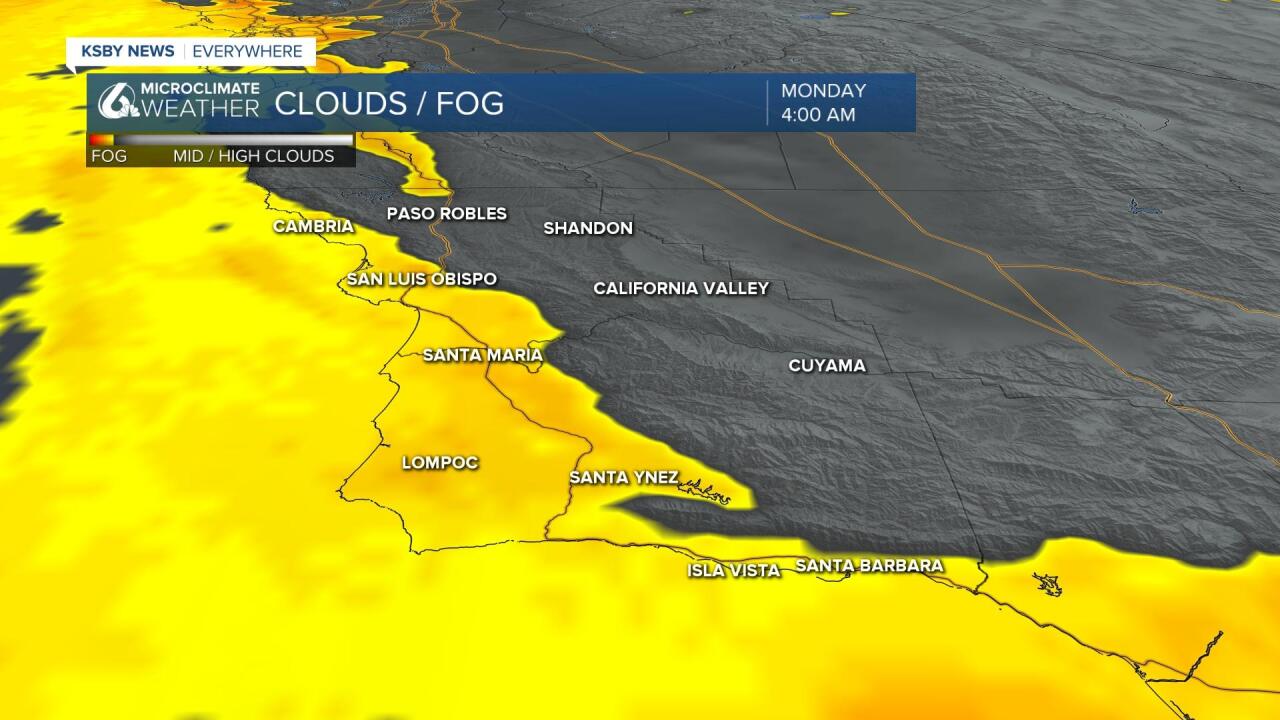
As we kick off the work week the marine layer is very much in place. Limited visibility is expected in all of our coastal valleys and beaches. The marine layer is pushing in quite strongly, that brings the risk of some very light marine fog related drizzle. This will only really be noticeable on windshields very early in the morning.
As far as the overall forecast goes for today, it is going to be another warm one with conditions very similar to Sunday. Highs in the interiors will climb into the upper 80s while coastal valleys will be in the 70s. Beaches are the only place where some cloud cover will linger through the day.

Tuesday highs will climb a few degrees, this will push interiors back into the 90s where they will stay through the week. Elsewhere highs will stay warm with more marine fog expected each morning.
Highs will stay warm all the way through the extended forecast.
Now here is where things get a little more complicated, the pattern that is bringing us warmth is also bringing in air from the desert southwest. That area is dealing with the monsoon pattern, bringing thunderstorms most afternoons. With the low pressure bringing some of that air to us, we cant rule out some scattered showers for us. This is a minimal chance but still something to keep in mind this week.
Have a fantastic week Central Coast!
