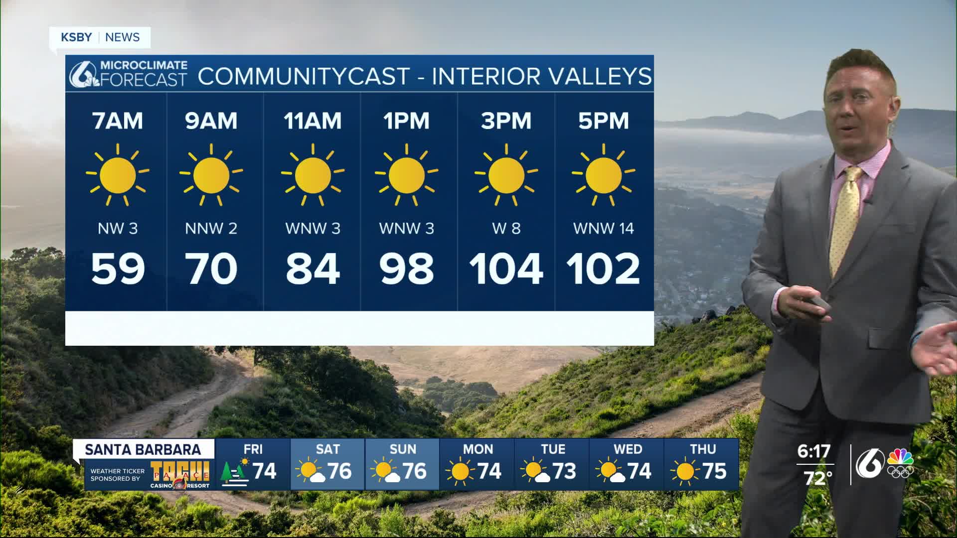
A warming trend is set to return on Friday and Saturday, with interior areas likely to experience temperatures climbing to around 105°F.
This heat wave will persist through the weekend before a cooling trend begins next week as a trough of low pressure replaces the current ridge along the West Coast.
High Pressure Dominates
Upper-level ridging will dominate the region from today through Saturday. This pattern will limit monsoonal moisture, keeping it well east of Southwest California. As a result, the area will experience mostly dry conditions.
Marine Layer and Coastal Fog
The marine inversion is expected to remain shallow over the next few nights, around 1,000 feet tonight, and even shallower on Friday night. Low clouds and fog are anticipated along much of the coast and into some adjacent valleys tonight and Friday morning. The Central Coast may see patchy dense fog, which could persist into Friday morning.
Low clouds should clear out by late morning each day, leaving mostly clear skies across the forecast area through Saturday. Breezy onshore winds will continue each afternoon, providing some relief from the heat.
Heat Advisory Possible
Temperatures are expected to rise over the next couple of days, with triple-digit heat likely returning to inland areas on Friday and Saturday. A heat advisory may be issued as conditions intensify.
Cooling Trend Next Week
Weather models suggest temperatures will begin to ease on Monday, with inland areas dropping below triple digits. The cooling trend will continue into the middle of next week, bringing temperatures near or slightly above average. Meanwhile, beaches will remain cool due to night and morning low clouds and fog along the Central Coast from Saturday night through Monday morning. This marine layer is expected to expand to cover more coastal areas and adjacent valleys from Monday night through Wednesday morning, while mostly clear skies prevail elsewhere.


