

Good morning Central Coast!
As we kick off our Thursday morning we are set up for another beautiful, although unseasonably hot day! The high pressure driving this pattern is sitting to our west and continuing to drive offshore winds and abundant sunshine. As we know so well that is the recipe for a very warm day.

That high pressure aloft is also what drove the high temps Wednesday, here is a look at what the day brought us.

Today's highs will climb even more, temps near 90 are expected today for the far interiors, 80s for most communities and even the beaches will be in the upper 70s.

The high pressure will begin to sink south today, that will bring even more high temps to the region. By late tonight the core high will be moving into Baja California.

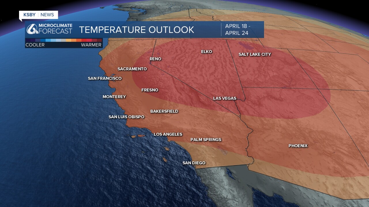
Friday the same conditions will be in place. Record breaking highs are expected for SoCal and the desert southwest. For those headed to Coachella, it is going to be a hot one.

Into the weekend the high pressure that has pushed south will move farther east and loosen its grip on our temps. Highs will fall a few degrees each day but will stay above normal.


I am tracking a small system tht will drop temps for late next week and bring a small chance of rain. Following that though highs will warm up once again.
Have a great day Central Coast!
