


Good morning Central Coast!
This morning is off to a bit of a foggier start than the last few days, the good news is that sunshine will take over once again by later this morning.

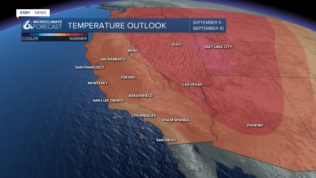
Temps across the region will be a degree or two above normal for this time of year. That will bring interior valleys to near triple digits and upper 70s to low 80s in the coastal valleys. Beaches will be the coolest, with highs into the mid-60s.

The high pressure that has driven this warm-up will drift east and a more "zonal" flow will set up. In less meteorology-based terms that means that winds will broadly move from west to east. That will bring temps within a degree or two of normal for most communities.


Even into the Labor Day weekend temps will stay consistent with morning cloud cover at the beaches and afternoon sunshine. In the 8-14 day forecast temps are looking to warm up a touch and stay hot through mid-September.
Have a wonderful day Central Coast!
