


Good morning Central Coast!
Sunday was a dramatic weather day across the state and while the worst of this is behind us there is still significant rain on the way.
Before I dive into that here are a couple of helpful links for today:
Today will bring more rain across the region as we see another boundary associated with this atmospheric river. The good news the worst of it has already moved south, just don't let down your guard yet. Significantly more rain is possible as we endure the remainder of the system. A system of this scale is dynamically complicated with the initial cold front linked to a low pressure much farther north, itself linked to wrap around moisture and lesser cores of instability.

Here is a look at yesterdays peak wind gusts. SLO county communities and all Central Coast peaks bore the brunt of the winds but the whole region was very much impacted.

To put these speeds into a little more perspective, it is common practice in areas that see a lot of tornadoes and severe weather for the tornado sirens to automatically go off if gusts over 70 mph are experienced.

While we see more mild conditions temps will be a bit more noticeable. They are very close to the last few days with highs in the upper 50s and lower 60s.

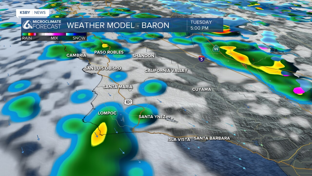
Scattered showers will begin again by mid morning and will become more widespread as the day goes on.
This evening heavy rain is once again expected along the Santa Barbara County South Coast. Already saturated ground may see up to two more inches of rain from the remnants of this system.

Tuesday afternoon the nature of this system will shift once again and bring northerly winds onshore. This will bring scattered showers Tuesday evening through mid day Wednesday.
As far as ran totals go we are almost done for the north coast, for the south coast though, nearly two more inches of rain is expected.

Once we get through to Wednesday evening skies will clear out and will continue that clearing trend into the weekend and even keeping sunny skies in place into the extended forecast.


Have a wonderful day Central Coast!
