


Good morning Central Coast! It is Wednesday and we are looking into an active forecast. Let's dive in, or should I say let's stay out of the water over the next few days.
Waves are our weather headline for much of this week, even when considering the rain on the way. The storm pattern in the Pacific is very active and while we are not getting hit directly by much the storms are putting energy in the water and that energy will be arriving this week in the form of large waves. Localized sets may be up to 25 ft in some spots. The waves will also combine with large tides which will produce areas of coastal flooding.
Due to that risk there are a lot of watches, warnings, and advisories in place. Details on each are on the graphics below.
High surf advisory - All beaches through Thursday

High Surf Warning - Western beaches Thursday through Saturday

Marine Hazard Statement - Southcoast through Thursday- High Surf Advisory - Continues on Southcoast through Thursday

Coastal Flood Warning - Western Beaches Thursday through Saturday

Coastal Flood Advisory - Southcoast Thursday through Saturday

The current high surf advisory and marine hazard statement in place for the Central and Southcoast will become a high surf warning and high surf advisory respectively Thursday morning through Saturday. There is also a coastal flood warning for the combined action of the high waves and tide for the Central Coast and a coastal flood advisory for the Southcoast for similar conditions but just not as much wave action.
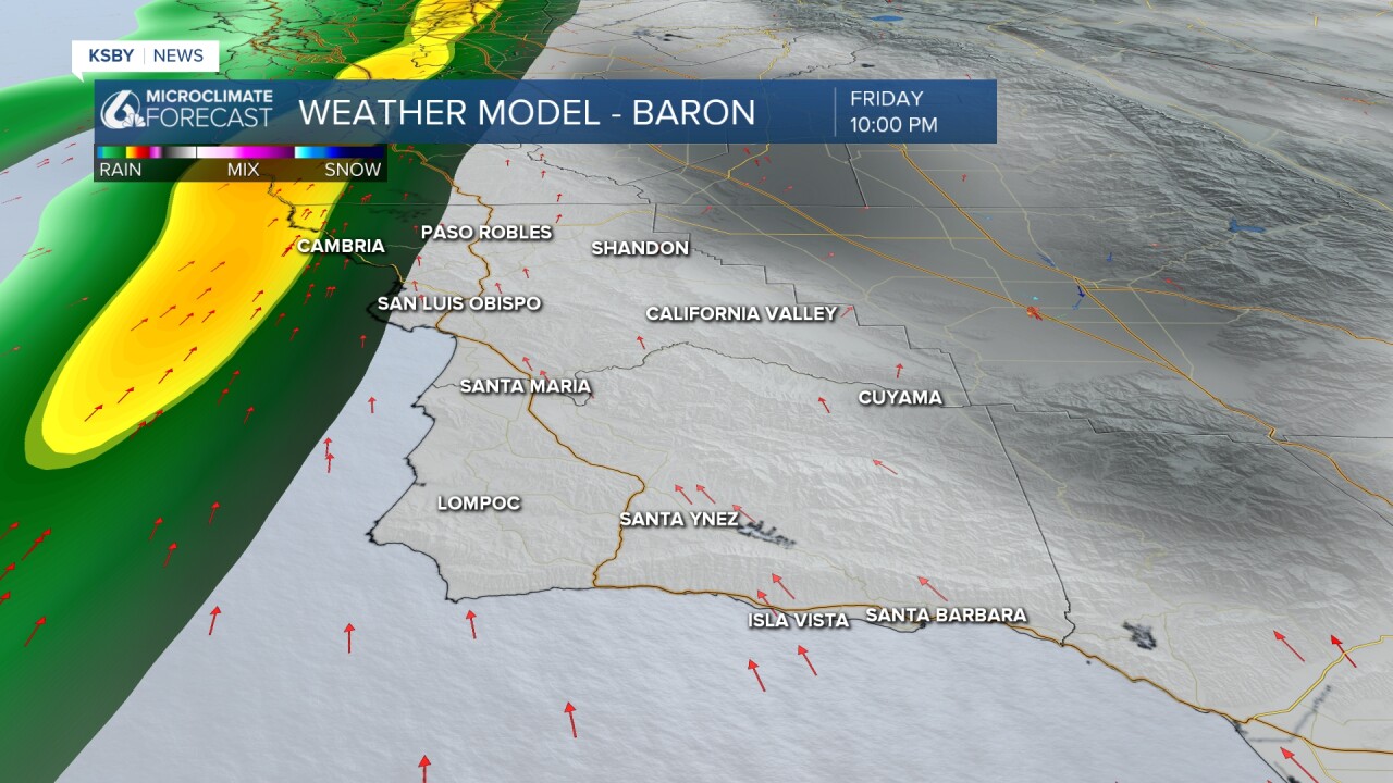
Turning to rain...
Over the next week we have several rain chances that will push through the region. Firstly today a storm that is bringing significant rain to much of the West Coast will just brush our most northern communities. Overnight showers will bring light drizzle (a few hundredths of an inch) to northern SLO county. A passing shower is possible for Thursday morning's commute.

Thursday and most of Friday will be dry but overnight into Saturday a cold front will press through the region.
The vast majority of the rain will be overnight but will likely bring 0.5" to 0.75" of rain to our communities. The north coast and mountains could see as much as 1" but that will be isolated and clear out in time for most weekend events.

The new year looks to start with a couple back to back systems, but that is a longer way out.
Now to our "basic" forecast!
Most folks will just have partly to mostly cloudy skies today with temps in the mid 60s. It is a very typical forecast for this time of year.
Here is a look at your extended forecast.
High surf and coastal flooding remains a concern through Sunday, plus rain chances are expected Friday night into Saturday and once again on Monday.
Have a wonderful day Central Coast!
