

Good morning Central Coast!
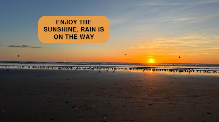
Tuesday shaped up to be a glorious day with sunshine and warm temps to boot! Get outside again today for more sunshine and temps climbing even more with some highs expected to reach 70!
Here is a look at those temps!
This evening clouds will start to roll in and winds will begin to change direction. That will first drop temps a bit for Thursday, thankfully the rain chances will not be much until early Friday morning.
The first of a series of cold fronts arrives late Thursday night into Friday morning for some scattered showers but the temperatures will be dramatically cooler, and the wind will start to crank up out of the northwest at 15 to 25 mph with higher gusts

The cool and windy weather continues through Saturday as a cold front moves through the area. A third and weaker disturbance moves through on Sunday morning to keep a slight chance of showers in the forecast. But beyond Sunday morning, the forecast should return to dry weather to end the weekend and begin next week.
Rainfall from Friday to Sunday morning likely will range from .25” inland to about 1” at some coastal locations. Unlike the storms of early February, the weekend activity is not supplied by a warm atmospheric river. The lack of moisture supply will limit the ability of the cold fronts to produce flooding rains.

High temperatures Friday through the weekend will be in the mid 50s to about 60 degrees. Freezing low temps are possible Sunday night into Monday in the interior valleys.
Along with the cool, showery and windy weather Friday through Saturday, waves will also build to about 15-18ft. Advisories are likely for surf.
Early next week some warming will happen, but sluggish to push temps back into the 60s for most Tuesday.
Have a great day Central Coast!
