

Good morning Central Coast!
To kick off our Tuesday morning, there is some fog in the interior valleys. That is limiting visibility slightly but most communities are starting off clear and mild.
Temps today will be slightly warmer than previous days, bringing us near to seasonal normals.

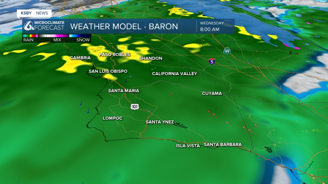
This evening the pattern will change. First cloud cover will build in ahead of rain starting overnight. Much of Wednesday morning will be marked by consistent, although light rain. There will be some bands of heavy rain in northern SLO county during the morning commute.
We will see a brief (and imperfect) break in the rain Wednesday afternoon ahead of another cold core low diving into the region for Thursday.
As this pushes in we could hear a rumble of thunder (or two) alongside some bands of heavy rain.

This second storm will be less consistent than our first storm but will still bring more accumulations thanks to localized heavier rain.

Much of that heavy rain will be mid day Thursday before the storm clears out.
Here is a look at rainfall accumulations from BOTH systems.

This storm is on the cold side and snow levels will fall quickly. Thursday, some peaks in the interiors of Santa Barbara County could pick up some mixed precipitation and snow. There is a winter storm watch in place for the interiors of Santa Barbara county through 7 a.m. Friday.

Here is a look at all of that on a 7-day-forecast!


Into next week, there are more rain chances. Monday brings the chance at some heavy rain with even more into mid-March.
Have a wonderful day Central Coast!
