

Good morning Central Coast!
As we kick off the workweek there is significant fog across many of our communities to kick off the day. Take it slow on the roads.

As far as the winds go most communities will be breezy but there is a wind advisory in place for our south coast due to a sundowner wind event tonight. Sustained winds 20 to 30 mph are expected with gusts up to 45 mph.

Not just the south coast is facing winds, our beaches and many coastal communities will still face winds up to 30 mph this eveing.

Today's temps will be comfortable on the whole. 80s in the interiors, 70s and upper 60s for our coastal valleys and low 60s at the beach.
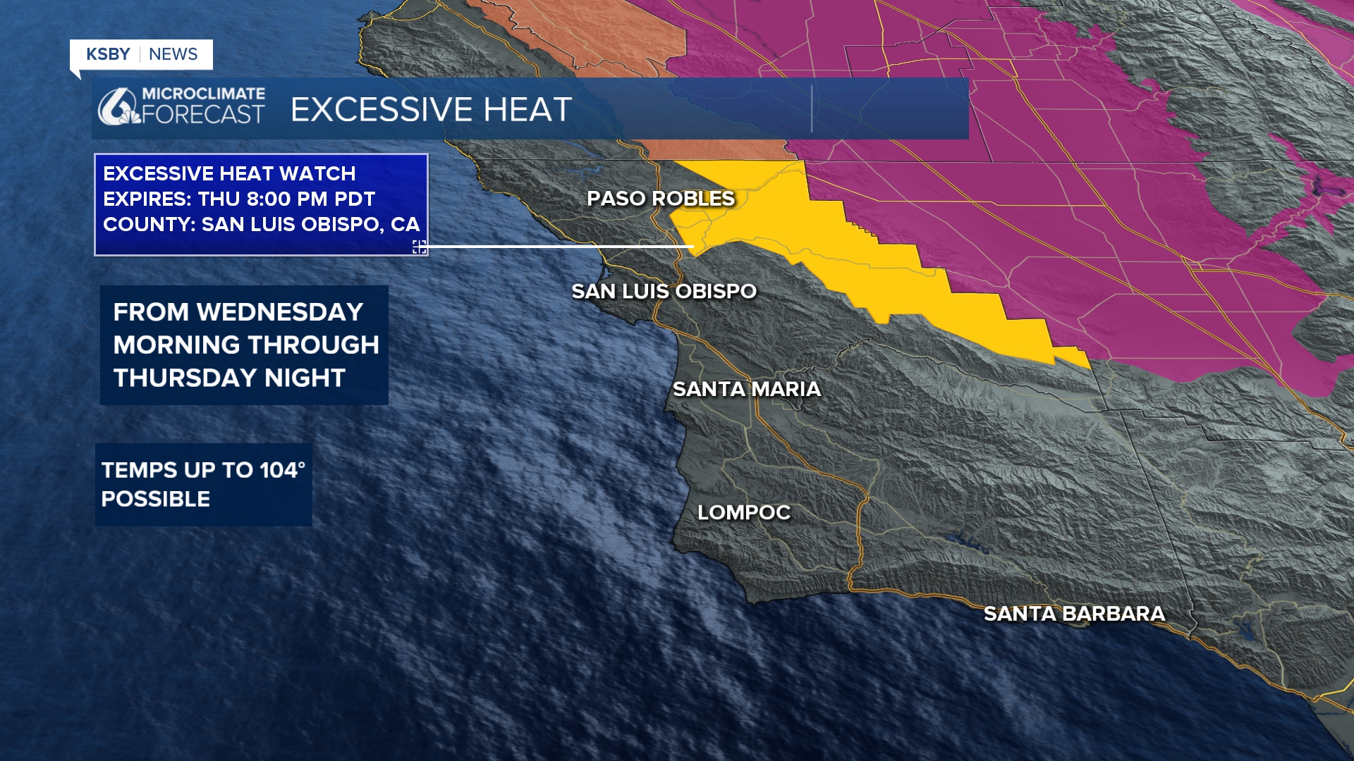
Extreme heat is our headline for interior valley communities this week. Offshore winds and high pressure aloft will bring the heat. By Tuesday we will make our first play for triple digit heat of the year. In advance of that there is an excessive heat watch in place for the interiors of San Luis Obispo County from Wednesday morning through Thursday night. Take caution, drink plenty of water and be sure to check in on those who struggle with heat.

Here is a look at what that heat will look like on your 7 day forecast.


Thankfully the heat is only expected for our interior valleys, coasts will be much more comfortable.
As we push towards late week temps will fall once again towards what we have seen recently.
Have a great day, Central Coast!
