


Good morning Central Coast!
To kick off the morning we have a bit of a break in the storm conditions as we sit firmly in the dry slot between the initial rain and a more robust rain chance tomorrow.
Our morning is featuring a few patches of fog and some very small showers over the Gaviota coastline but overall conditions are clear and wonderful to start the morning!

The slight chance of scattered showers today will not be too impactful, especially compared to Fridays chances. Southerly winds are sticking around though helping to bump temps a couple of degrees from yesterday.
Into the evening southerly winds will stick around continuing the very slight rain chances. Into the overnight hours more dense cloud cover will move in. Morning visibility on the roads will be low across most western beaches and into the coastal valleys. Take caution.
Friday will start on the same note as much of Thursday, a few showers here and there but nothing super problematic. By the evening though the parent low of this storm will pass over the Central Coast!
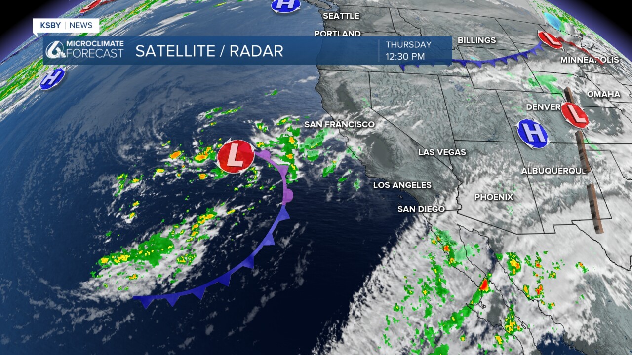
Once this pushes onshore we have a more meaningful chance for rain and even a scattered thunderstorm.
That looks to move in later Friday evening starting on the western beaches and pushing east. Showers will continue overnight and into Saturday morning.

The showers will continue until the afternoon Saturday and even with a spotty shower or two Sunday morning. Thankfully at that point we will clear out and dry out in to the extended forecast and through Thanksgiving!
As far as totals go the original range of 0.50" to 1.5" is holding up well. So far most locations are under 0.1" with a bit more along the south coast and into the peaks of northern SLO County. All that remaining rain is expected Friday into Sunday. The highest totals likely along the southcoast and in far northern SLO county.

Have a wonderful day Central Coast!
