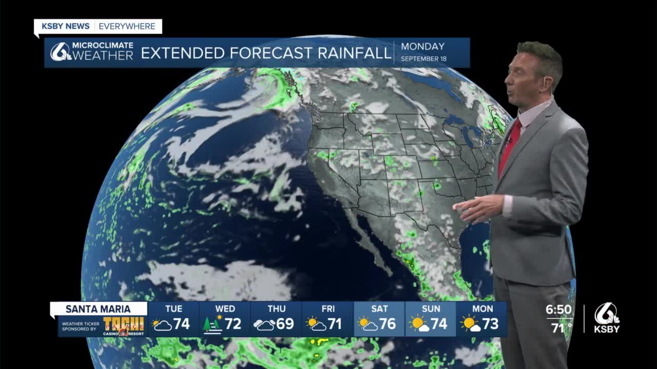


It's another forecast with minor ups and downs over the next week or so. Our work week began with some clouds of the coast and interior valleys but recovered nicely to feature temperatures in the 60s at the beaches 70s in the coastal valleys and 80s in the interior.
I don't see a lot of change going into Tuesday. Wednesday and Thursday however temperatures should start to cool down In response to a trough of low pressure dropping into the West out of the Pacific Northwest. That trough will deepen the marine influence create more clouds and push temperatures down on Wednesday and Thursday. Thursday looks to be the coolest day with interior valley temperatures dropping into the 70s and coastal valleys into the upper 60s with beaches in the 50s and 60s. I also anticipate ample amounts of early cloud cover and partial clearing on Thursday.
After that, some high pressure should build in returning interior temperatures to the 80s Friday through Monday with coastal valleys pushing back into the 70s with beaches generally in the 60s and low 70s.
The current pattern features a southwesterly flow aloft which is generally a benign flow pattern for our area. Again very few changes are anticipated on Tuesday. I already mentioned the trough coming in for Wednesday and Thursday. Something interesting to note is that there will be a tropical weather system to our South and some of the moisture associated with it could get caught up in the southwesterly upper-level winds bringing in high cloud cover. Far Southern California could see a drop or two of rain but currently, models are not optimistic about much of this moisture doing anything on arrival in California.
