


Good morning, Central Coast! Happy Thursday!
To kick off your Thursday morning there are some areas of cloud cover that will limit visibility for the morning commute.

This will clear out quickly as soon as the sun rises. At that point we will start the warm up in earnest.
Temps today will be 5-10 degrees warmer than just yesterday in the interiors, with warming to a lesser extent in the coastal valleys.
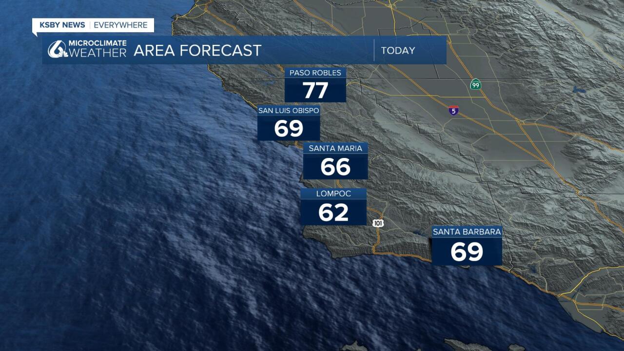
70s are expected in the interiors with most other locations in the 60s. A few western beaches are holding on to the 50s.
This evening yet another sundowner wind event is expected along the southcoast. Areas in south west Santa Barbara County (Gaviota Coastline) will see winds up to 45mph. That is advisory level so there is also a wind advisory in place through 3 a.m.

The warm up will continue Friday with most locations jumping about 10 degrees. Coastal valleys will get into the 70s and interiors will reach the upper 80s. Saturday will be the warmest day of the forecast with most interior valleys in the 90s, coastal valleys into the 80s.

Temps will drop a few degrees Sunday and Monday with the addition of a little more marine influence. 90s wil be back in the interiors by midway through next week.
This warmer pattern is thanks to a few forces across the west coast that will keep us warm as well. A high pressure offshore is amplifying an upper level ridge that spans all the way to the Pacific Northwest. That is keeping sunshine in place and when paired with the low pressure just to our east that is aiding in offshore winds temps are on the rise.

The warm up that is on the way over the weekend is so widespread that for the first time this year a heat advisory is in place for portions of the Central Valley and there are excessive heat watches in place for the Pacific Northwest.
Thankfully we are close enough to the coasts that some onshore flow will cap our warming at the beaches and highs in the interiors will top out in the mid 90s.
Because of this large ridge there is the potential for some forecast complications in the extended forecast. The massive area of high pressure is going to be big enough to possible create some "return flow" form the desert southwest. This could bring in some unstable air and scattered thunderstorms are possible at higher elevations in California over to the extended forecast. Local rain is not particularly likely I like to call it a non-zero chance, it's low but not zero.
Have a great day!
