Good morning, Central Coast, happy Wednesday!
To kick off the day the marine layer is securely in place. Limited visibility is expected across all of the coastal valleys and beaches.

This marine layer influence is pretty close to the textbook situation. As soon as the sun rises the fog will clear quickly.
Moving on to the forecast, we have a weather roller-coaster expected over the next few days. Highs today will surge into the upper 80s in the interior valleys, more mild temps although still expected elsewhere with more offshore breeze and marine layer impacting the coastal valleys and beaches.
Temps today are going to be warm once again in those interiors! While comfortable at the beaches and coastal valleys as well the marine influence will keep temps a little cooler. pic.twitter.com/IDL1OFWLVN
— Vivian Rennie (@VivianRennieWx) April 26, 2023
The high pressure and offshore flow that is prompting these warmer temps will continue into the later portion of the week when highs may reach into the 90s in the interior valleys, some 80s possible in coastal valleys, 70s possible at the beach.
The ridge will begin to exit the region Sunday, then things will get interesting.
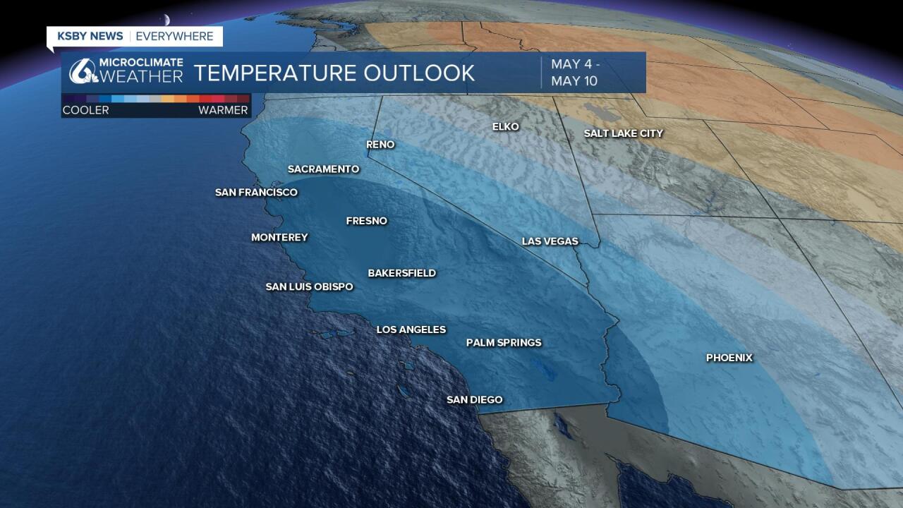
This is quite an extended range forecast so there is a lot of room for the details to change but here is what the models are trending towards. Cool air will start to arrive Monday as an inside slider makes its way down the west coast. This will first drop temperatures and then bring shower potential into the region as soon as Tuesday with yet another chance late week.
The Climate Prediction Center's 8-14 day outlook is calling for unsettled and colder conditions. This isn't 'set in stone' just yet but something to be aware of for sure.


Have a fantastic day Central Coast!


