

Good morning Central Coast!
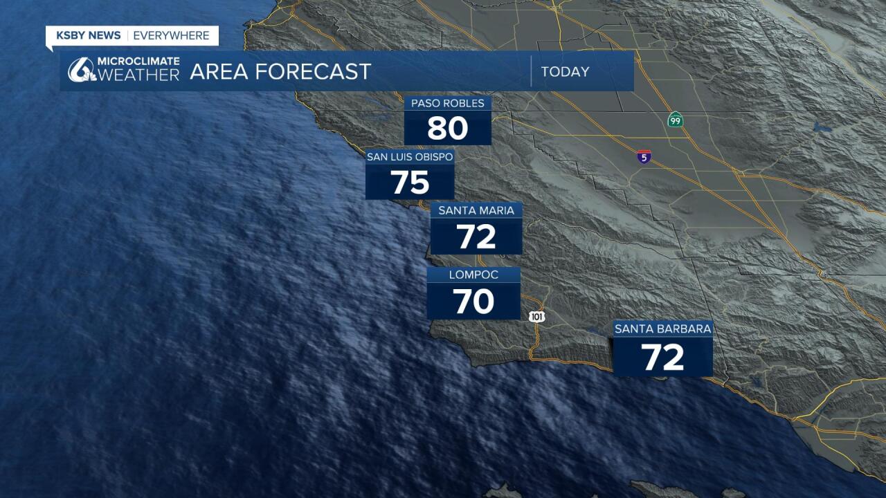
As we kick off our Wednesday morning there is significant cloud cover continuing to surge onshore. This is going to be the most impactful change in our forecast as it will keep our temps on the cooler side even into the afternoon.

The reason for the cloud surge is a southwesterly flow aloft with some instability at higher elevations. This encourages onshore flow and a deep marine layer that can get into interior valleys. The overnight and early morning cloud cover should clear to the beach line where it could be stubborn for a few beach communities.
Thursday we will see a slightly more limited cloud cover area and a slight uptick in temps.
The weekend will bring significantly warmer temps as the marine influence wains. Offshore flow will keep the cooler marine air out of the interior valleys and increase temps significantly. By Friday low 90s will return, add nearly 10 degrees and triple digits will return by Sunday in the Paso Robles area. Closer to the coast temps will be a bit more moderate but will still see a sizable increase in temps.


There is some good news looming at the end of the forecast, cooler temps are expected to return to the region by Tuesday next week. That being said there is indication that temps will still stay above normal for this time of the year well into the extended forecast.
Have a wonderful day Central Coast!
