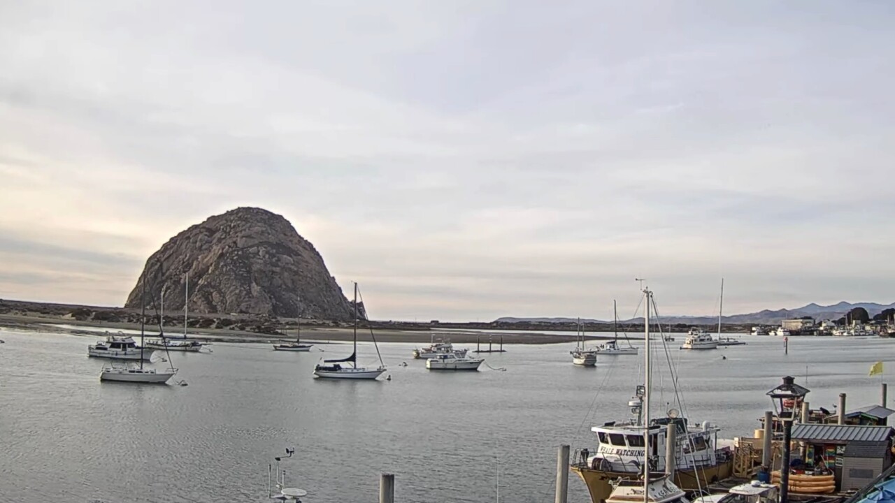
Happy Sunday! Let’s start off our forecast with a look at our lows. The interiors still dealt with overnight freezing conditions, but we did see slightly warmer temperatures if compared to Saturday.
The low for Paso Robles and Shandon was 30 degrees. California Valley had a low of 31 degrees, and Cuyama had a low of 32 degrees.
Daytime highs were also warmer for several spots like Paso Robles, Shandon, California Valley and Cuyama.
The highs since midnight for San Luis Obispo was 79 degrees. Cambria Santa Maria, and Santa Ynez had highs in the mid 70s. The interiors were cooler in the mid to upper 60s.
Clouds rolled in and lingered around even deep in those interiors. We did see some clearing, which led to a sun-cloud mix across our region.
Winds were a little breezy in our coastal valleys and interiors. Paso Robles had winds gust up to 17 mph while Santa Maria had a peak wind speed of 13 mph.
We are expecting dry conditions in the next two days, which could bring colder than normal overnight lows.
Our weather pattern is showing a ridge of high pressure passing through our area. This is helping our temperatures go up slightly. Temperatures are expected to drop a couple of degrees on Tuesday upon the arrival of a trough.
Monday is holding to those warmer temperatures with beaches in the mid 60s, coastal valleys in the low to mid 70s and the interiors in the upper 60s.
Tuesday is looking slightly cooler with beaches in the low 60s, coastal valleys in the upper 60s and the interiors in the mid 60s.
Wednesday is looking at similar temperatures at our beaches while coastal valleys and interiors warm up to upper 60s.
Light to moderate offshore flow is expected to continue into Sunday. Another high-pressure system will roll in giving us warmer temperatures. Highs are expected to be 5-10 degrees above normal during this period.
Our seven-day forecast is looking at Saturday as the warmest day of the week with highs in the low to mid 70s.


