UPDATE (3:25 p.m.) - The Plaskett Fire has grown to 15,479 acres and was 1% contained as of 3:25 p.m.
—-
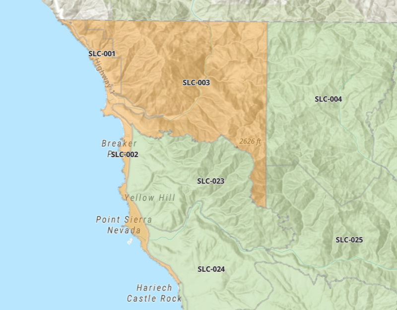
UPDATE (2:15 p.m.): As crews continue to battle the Plaskett Fire, the San Luis Obispo Office of Emergency Services announced evacuation warnings for the following zones in the northern part of the county: SLC-001, SLC-002 and SLC-003.
The areas, per the OES: South of the SLO County Boundary, North of Carpoforo Creek and Via Piedras Blancas, West of Green Canyon, East of the Pacific Ocean.
More information can be found at https://www.readyslo.org/wea.
As of 2:15 p.m., the Plaskett Fire has burned 8,241 acres and is 1% contained, according to Cal Fire.
UPDATE (Sunday, 7:39 a.m.): Smoke from the fires burning along the Big Sur coast is impacting the Central Coast.
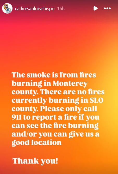
In an Instagram post on Saturday, CAL FIRE SLO stated there were no fires in San Luis Obispo County.
The Plaskett Fire has grown to 8,241 acres by Sunday morning and was just 1% contained, according to CAL FIRE.
Fire officials said the night prior that the fire had backed down to Highway 1 and firefighters were focusing on structure protection.
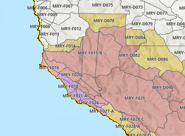
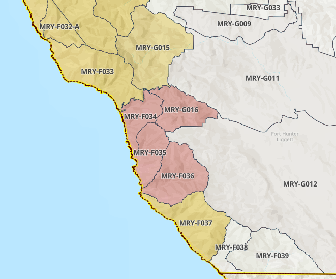
Evacuation orders are in effect for the following areas:
- MRY-F034
- MRY-F035
- MRY-F036
- MRY-F037
- MRY-G012-A
- MRY-G016
Evacuation warnings have been issued for:
- MRY-F033
- MRY-G011-A
- MRY-G012-B
- MRY-G015
The Timber Fire has burned 24,839 acres and was 21% contained as of Sunday morning.
The SLO County Air Pollution Control District was expecting air quality to be in the moderate range for much of the Central Coast on Sunday.
—
ORIGINAL STORY: Highway 1 is closed in two locations along the Big Sur coast as firefighters continue to battle two out-of-control wildfires.
The southern closure begins just about 10 miles north of the San Luis Obispo County line at mile marker 16 and continues north to mile marker 10.2.
This closure is due to the Plaskett Fire, which has burned more than 2,700 acres since it broke out on Wednesday. There is no containment.
Evacuation orders have been issued for the following Monterey County zones: MRY-F034, MRY-F035, MRY-F036, and MRY-G016.
The second closure along Highway 1 for the Timber Fire is between mile marker 56 in the north and mile marker 45 in the south.
The space between the two closures is open only to people who are already located in that area.
The Timber Fire has grown to more than 23,300 acres and is just 21% contained. It has been burning since August 8.
Multiple areas are under evacuation orders and warnings.