


Good morning, Central Coast, happy Thursday!
To kick off the morning there is more dense fog across the majority of our coastal valleys and beaches.
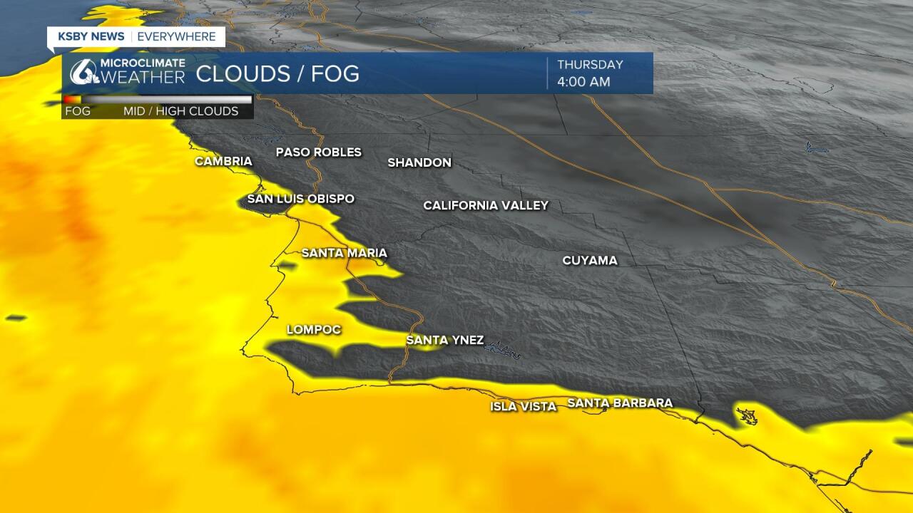
The marine layer fog is prompting a dense fog advisory for beaches and coastal valleys through 9AM. It is expected that the dense fog will stick around through the mid morning, even later across the beaches where clearing is unlikely.

Today's forecast is all about the marine layer. Beaches may stay foggy all day, that will keep temps significantly lower than elsewhere, coastal valleys will clear but due to the added marine air highs will stay a bit lower. In the interior valleys and where the marine layer didn't extend into highs will be significantly warmer. Upper 80s and some low 90s are possible.

As we head into the weekend the forecast will stick around, highs in the 90s are expected this weekend, marine layer will stick around at the beaches.

The pattern will begin to degrade on Sunday when cooler air will surge onshore and begin a significant cooling trend that will last into the extended forecast with below normal temps.

Alongside the cool down there is another pattern change, something that we do not see frequently in May... rain.
Models are showing indication of some rain pushing into the region Tuesday and then again later in the week. Models have been all over the place on this from heavy outlooks to just some scattered showers. Today is no exception. The trend today has been to back off a little, some models only show a little rain.
At this point, just inside a week out, I think the prudent call is for showers but definitely expect this outlook to be refined as we get closer. Yesterday some models called for an inch or even 2, but only one model likes it really wet today. Still, a lot can happen when this is more of a real storm vs a math storm.
Have a wonderful day Central Coast!
