
The Central Coast can expect below-normal temperatures through most of next week. Today will bring a mix of low and high clouds, with patchy drizzle and locally breezy conditions.
Gusty west to northwest winds are forecast for most areas from Friday into Saturday. A couple of generally weak systems will bring light rain on Sunday, and again Wednesday and Thursday. The second system has a range of possible outcomes.
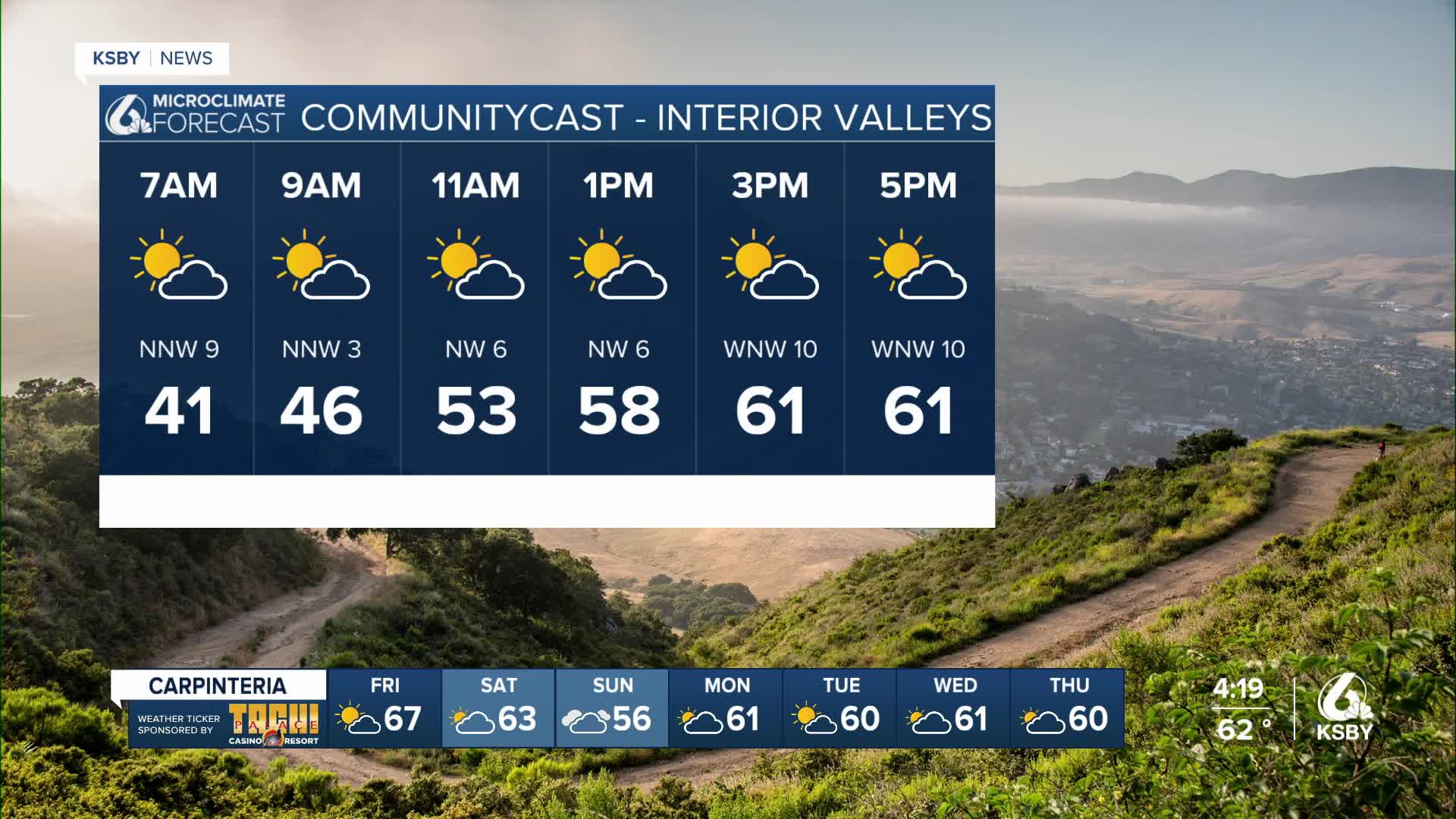
A blend of low and high clouds will persist through Saturday as the fringes of a Pacific Northwest storm system interact with a deep marine layer over Southern California.
Drizzle will be possible in some areas. Gusty west to northwest winds will be the primary weather feature tonight through Saturday, as cold air behind the weak system brings down energy from the strong jet stream aloft. Wind Advisories (gusts 35-45 mph) will likely be issued for typical wind-prone areas tonight, such as southwest Santa Barbara County. The strongest and most widespread winds (gusts 35-50 mph) are expected Friday afternoon and evening, affecting coastal areas of Santa Barbara County.
Winds will diminish in strength and coverage by Saturday. There are also significant waves to consider:
These winds will disrupt the marine layer low clouds, especially over Santa Barbara County. They may also bring a few rain and snow showers to the northern mountain slopes near the Kern County border. While amounts will be light, snow levels around 5,000 feet could lead to up to an inch of snow in some mountain areas.
Temperatures will remain below normal, but will gradually increase each day due to the northwest flow and reduced marine layer cloud cover.
Next week will be characterized by cool and unsettled weather. An energetic but moisture-starved storm system will move down the California coast Sunday and Sunday night, weakening as it progresses. Rain is fairly certain for San Luis Obispo County, with totals of 0.25-0.50 inches expected. Rain chances and amounts decrease further south, with totals under 0.25 inches if any.
Models show strong agreement on this light rain scenario, so confidence is high. Snow levels look to be above 7,000 feet.
Off and on again showers are possible on Monday and Tuesday, with post-frontal west to northwest winds increasing, especially on Tuesday, with gusts of 30 to 50 mph possible across much of the region.
The following storm system has a wider range of possible outcomes, so the forecast remains somewhat uncertain. However, the risk of major impacts is currently very low. Most projections show a similar storm anatomy, with a deep and cold low-pressure system from Alaska pushing through the west coast. The primary uncertainty lies in the speed and track of this low, which affects timing and strength for southwest California.
While a small percentage of projections show the potential for flood-inducing heavy rain, the most likely scenario involves light to moderate rain amounts/rates and minor to moderate impacts.
The storm could arrive as early as Tuesday night or as late as Thursday night, with Wednesday night and Thursday currently representing the highest probability. Snow levels will likely drop below 5,000 feet at times, making snow a more significant factor than rain, but this is also contingent on the storm's path.
