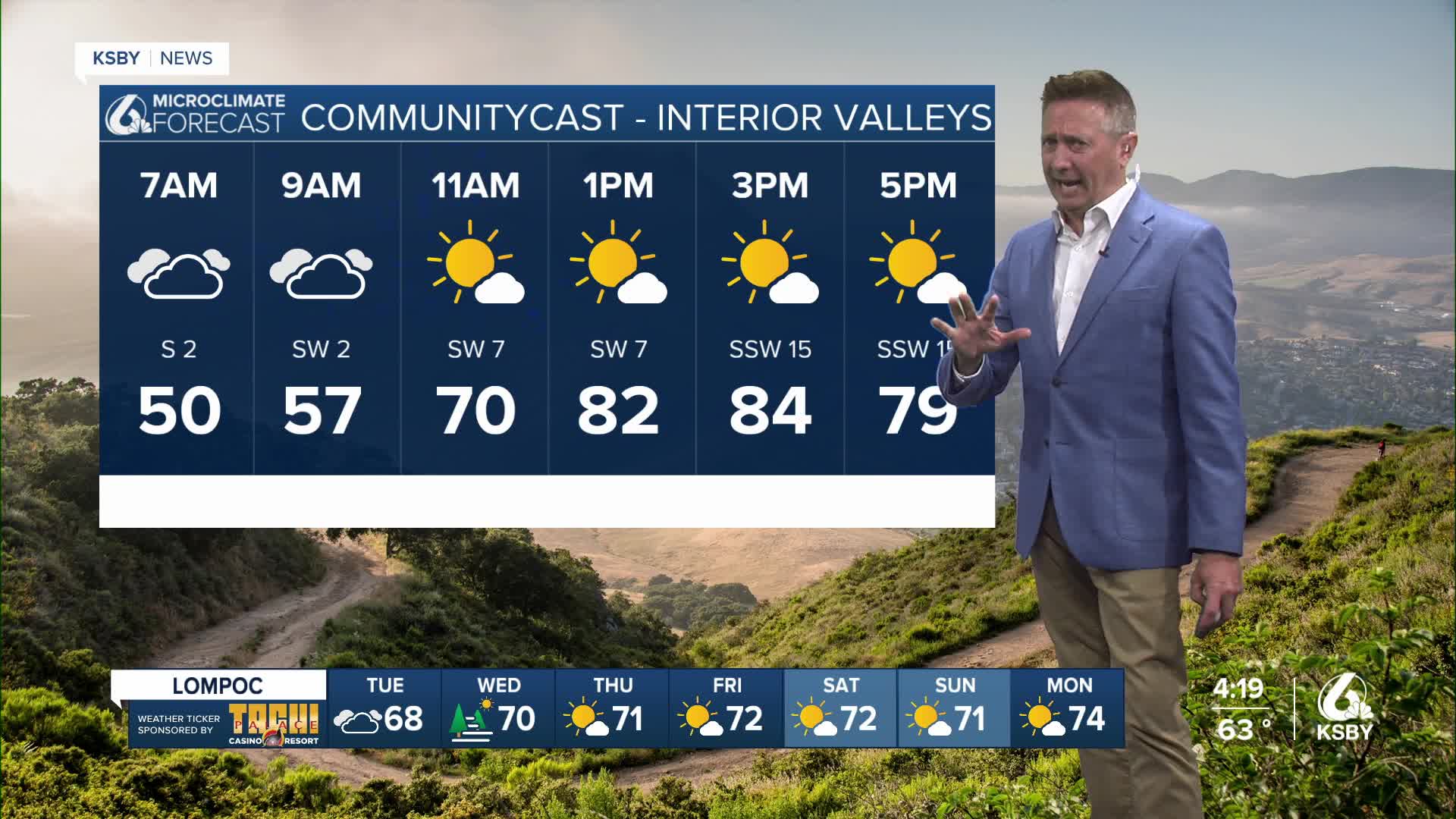


The Central Coast is entering a period of unsettled weather today with plenty of stubborn cloud cover and a low chance of some rainfall at higher elevations in the interior. This is a somewhat normal "June gloom" pattern and it’ll be with us into the coming weekend.
There is an upper low off the Central Coast and it is keeping winds weakly onshore with clouds over the area.This low will slide thru the area over the next few days but we’ll see a general trouh over The Central Coast all week long.Temps should slowly come up by the end of the week but modeling shows several of these upper lows possible over the next week, maybe two weeks.Temps look generally mild.
There is a “non-zero” chance of rain in the mountains and more mist and drizzle associated with a deep marine layer during the night and mornings at the coast.
Looking ahead to the weekend, the marine layer and associated night to morning low clouds will likely become confined closer to the coast.Our inland areas should see highs slowly creep back into the upper 80s to near 90 for the weekend while coastal valleys linger in the 70s and beaches generally in the 60s. Pretty typical June weather with breezy onshore winds.
