Weather headlines:
-This week, a warming trend is expected, peaking Tuesday and Wednesday, as a ridge of high pressure moves into California and some offshore flow develops.
-Temperatures for late in the week and into the weekend should cool only slightly and remain quite a bit above normal away from the coast.
-Some coastal low clouds and fog may occur during the night and morning hours, skies will continue to be mostly clear for much of the week.
Detailed forecast:
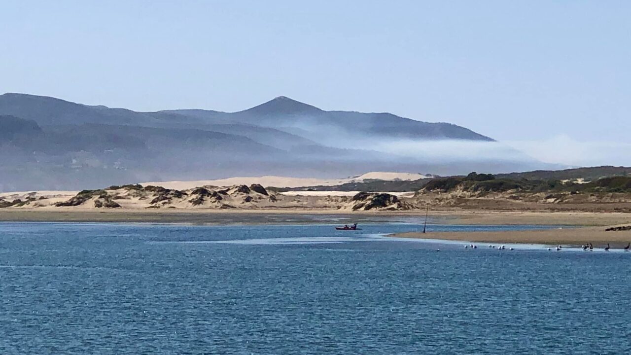
Low clouds lingered along some of the beaches early Sunday afternoon on the Central Coast. Mostly sunny skies are expected through the afternoon with breezy onshore flow.
Temperatures on Sunday this afternoon will range from a few degrees below normal along the coast to 5-10 degrees above normal for the interior valleys and mountains.
Highs should reach the 60s to around 70 at the beaches, 70s to low 80s in the coastal valleys, and 80s to lower 90s for the valleys and lower mountains.
A weak upper-level low previously over the Central Coast last night was centered over northern L.A. County early Sunday afternoon.
This upper-level low is expected to drift south of the region tonight through Monday then largely dissipate tomorrow night.
An upper-level ridge of high pressure will then build into central California Monday through Tuesday. It will expand into Southern California on Wednesday.
A broad easterly flow aloft can be expected over the region Tuesday through Wednesday.
There will be increasing offshore flow tonight through Monday with little change through Tuesday.
In addition, significant warming is expected to also help shrink the marine inversion to about 600 feet or less. There will likely be a surface-based inversion along the Central Coast by Monday morning.
Low clouds and fog are expected again tonight into Monday morning with much less coverage. However, the immediate Central Coast and some coastal areas south of Point Conception will be affected. Any low clouds will continue to be accompanied by patchy dense fog thanks to the shallow marine inversion.
Breezy onshore flow is expected during the afternoon and evening hours, with breezy offshore flow in the night and morning hours on Monday and Tuesday, especially for the foothills including the Santa Lucia Mountains in San Luis Obispo County. There will also be gusty northwest to north sundowner winds in the southwestern portion of Santa Barbara County this evening, with local gusts possibly close to advisory levels.
By Tuesday afternoon temps will be 10-20 degrees above seasonal norms with little change expected Wednesday.
The offshore flow will help bring significant warming during the early half of the workweek.
The hottest temps on Tuesday and Wednesday should be in the 95-105 degree range for areas away from the coast.
This combined with overnight lows quite a bit above normal will bring heat concerns to the area, especially on Tuesday and Wednesday. As a result, Heat Advisories and Excessive Heat Watches will be issued.
The Heat Advisory in San Luis Obispo and Santa Barbara counties begins October 1st at 11 a.m. and ends October 2nd at 8 p.m.
The Excessive Heat Watch for Santa Barbara County also starts Tuesday morning and ends Wednesday evening.


