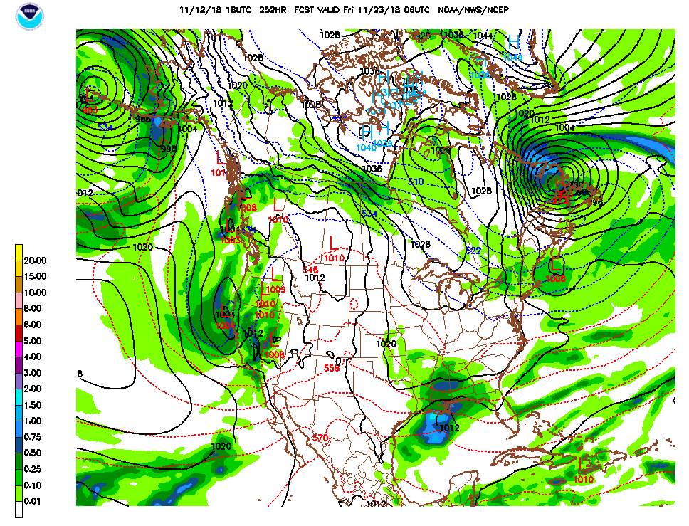
The jet stream has a pronounced ridge over the Western U.S. This is the primary reason we are seeing warm, dry and dangerous fire weather conditions across California.

The ridge will stay in place thru the first part of this week producing offshore winds again. Locally those winds are not very strong but across Southern California Red Flag Warnings are in place thru Wednesday and High Winds Warnings are also in place for parts of Ventura and Los Angeles counties. Winds of 15-30mph with gusts past 40 are possible tonight. The winds weaken during the day but redevelop at night. Winds should diminish a little Tuesday night however significant speed and dryness are still there prompting the extension of the advisories.
Temperatures locally will be in the 70s inland this week with coastal valleys in the mid 70s to mid 80s thru Wednesday with the beaches in the low to mid 70s. Skies will remain mostly clear however smoke haze will be a concern until more fire suppression takes place. Lows in the interior valleys will continue to freeze most of this week, but since a freeze has already taken place there is no advisory. People with concerns about the cold weather should continue to take precautions.

Onshore flow returns Saturday for cooler conditions and partly cloudy skies.
Rain is expected around Thanksgiving, right now it could be significant for both northern and southern California but it does come with it the concern for debris flow should the rate be fast in burn areas. Regardless, we badly need rain to curtail more large wildfires.


